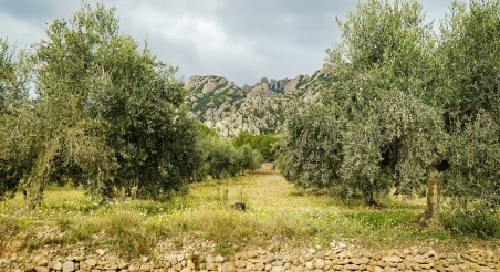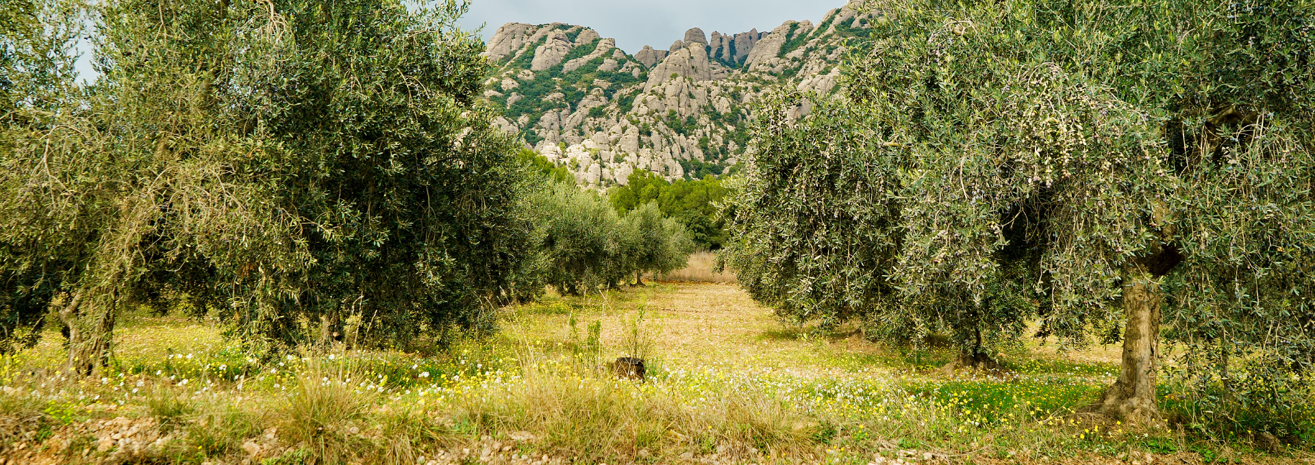
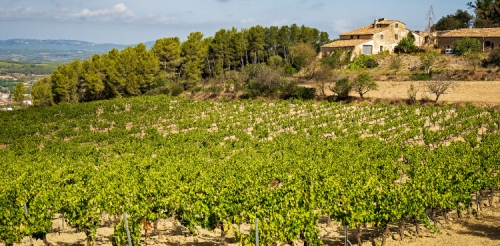
Olive grove in Montserrat Rural Park. PATXI URIZ | BARCELONA PROVINCIAL COUNCIL
Land Use
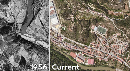
Do you know how land use has changed in Barcelona's province since the 1950s? Find out in this detailed analysis.
Source: Land cover maps from 1956 and 2018
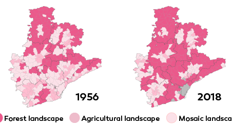
To find out how the general distribution of the territory has changed in the last sixty years, we have compared the latest land cover map from 2018, published by the Cartographic and Geological Institute of Catalonia (ICGC), with a map from the 1956 orthophoto of the province.
Creation date
Last Updated
More data from
Related data
Related Initiatives

You might be interested